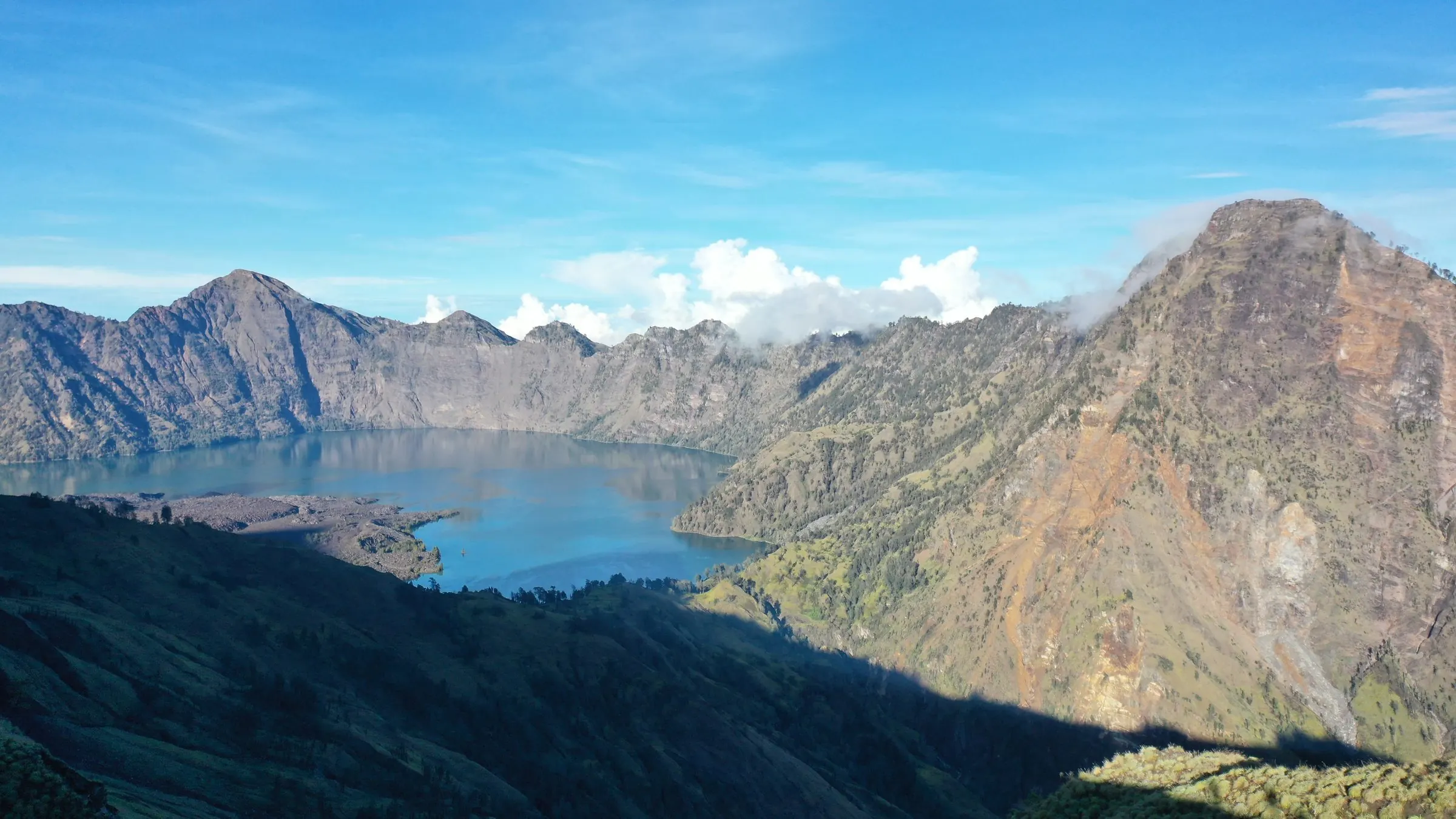
About the Reserve
Zonation
Three zones, from the protected forests of Mount Rinjani to the towns and coasts where most people live.
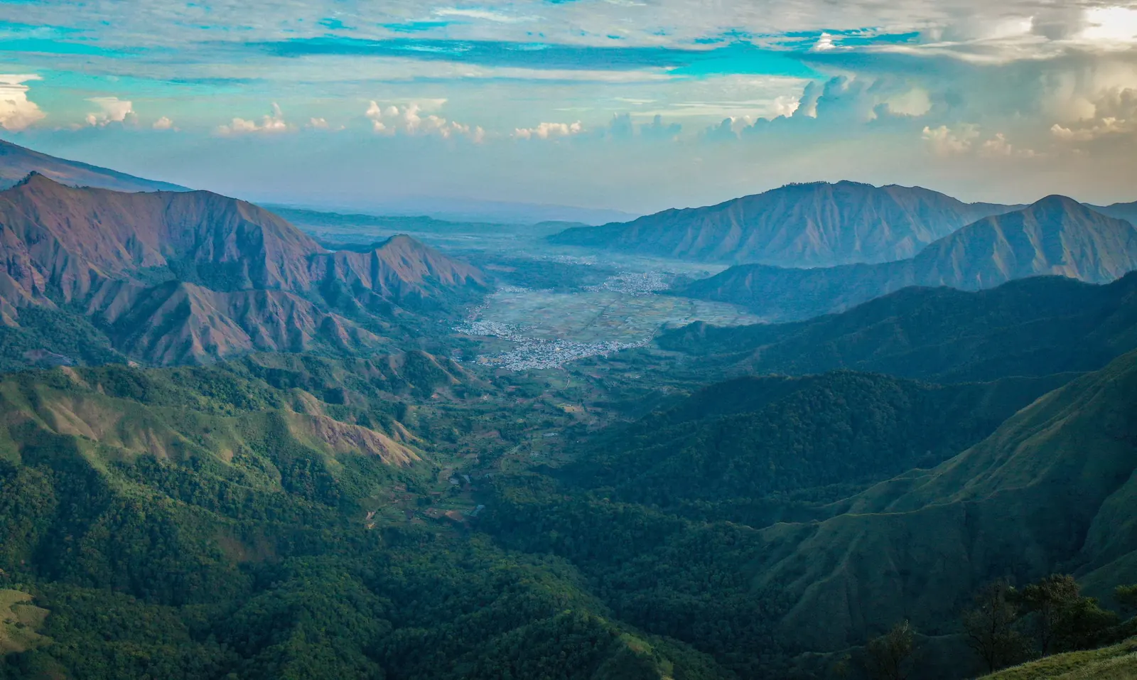
The three zones
| Zone | What it covers | What happens there |
|---|---|---|
| Core area | Gunung Rinjani National Park and other strictly protected forests. [VERIFY: areas included; area in hectares] | Long-term protection of ecosystems and species. Research, monitoring and low-impact activities such as guided trekking. |
| Buffer zone | The protection and production forests around the core, including community forestry areas. [VERIFY: area] | Activities compatible with conservation: community forestry, agroforestry, ecotourism, education and research. |
| Transition area | The rest of the island: farmland, villages, towns, Mataram, and the coasts. [VERIFY: area] | Where most people live and work. Sustainable agriculture, fisheries, tourism and settlements, developed with the reserve's aims in mind. |
Why zones matter
The forests of the core area hold the water that Lombok depends on: its springs, rivers and irrigation channels all start on the slopes of Rinjani. What happens in the buffer and transition areas, from land clearing to rubbish to tourism, comes back to that water and to the reefs at the coast. The zones are a way of planning the island as one system.
[SUPPLY: zonation map]